Meteorologist Mr. Mori explains ~ Why “good snow” falls in Hokkaido ~
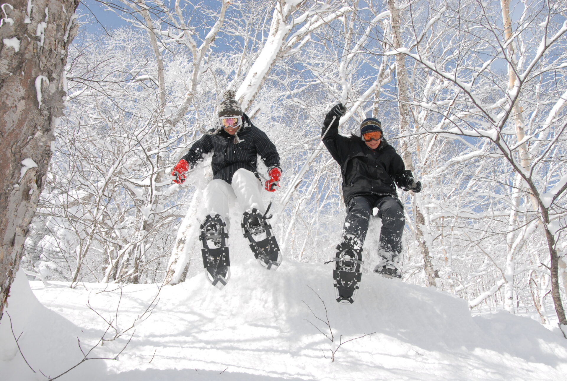
Hokkaido, Japan, renowned as a ski and snowboard paradise, experiences the fall of “good snow”. We sought an expert’s explanation for this phenomenon.

Akira Mori
Akira Mori, a renowned meteorologist with extensive experience in television and radio appearances as well as nationwide public engagements. He is the author of several books, including “Why have abnormal weather conditions increased? – Understanding the mechanisms of weather from scratch” (Sho-den Publishing) and “A book that makes it easy to understand the climate crisis” (Tokyo Shoseki Publishing). Mori also serves as the representative director and president of WEATHERMAP Co., Ltd.
WEATHERMAP Co., Ltd. https://www.weathermap.co.jp/
※The photos and illustrations in the text are provided by Mr. Mori.
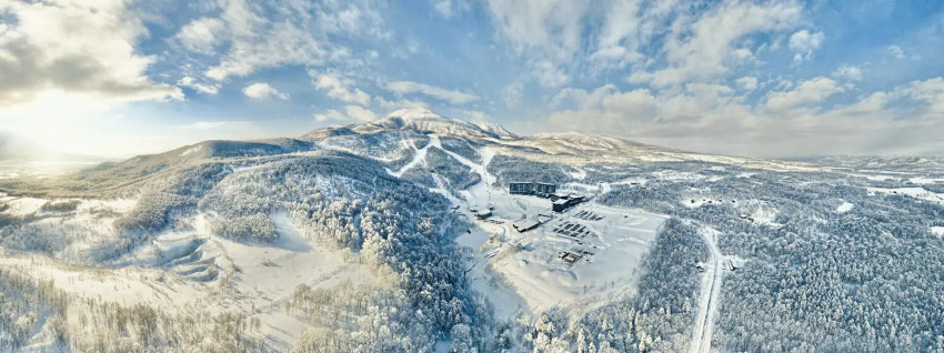
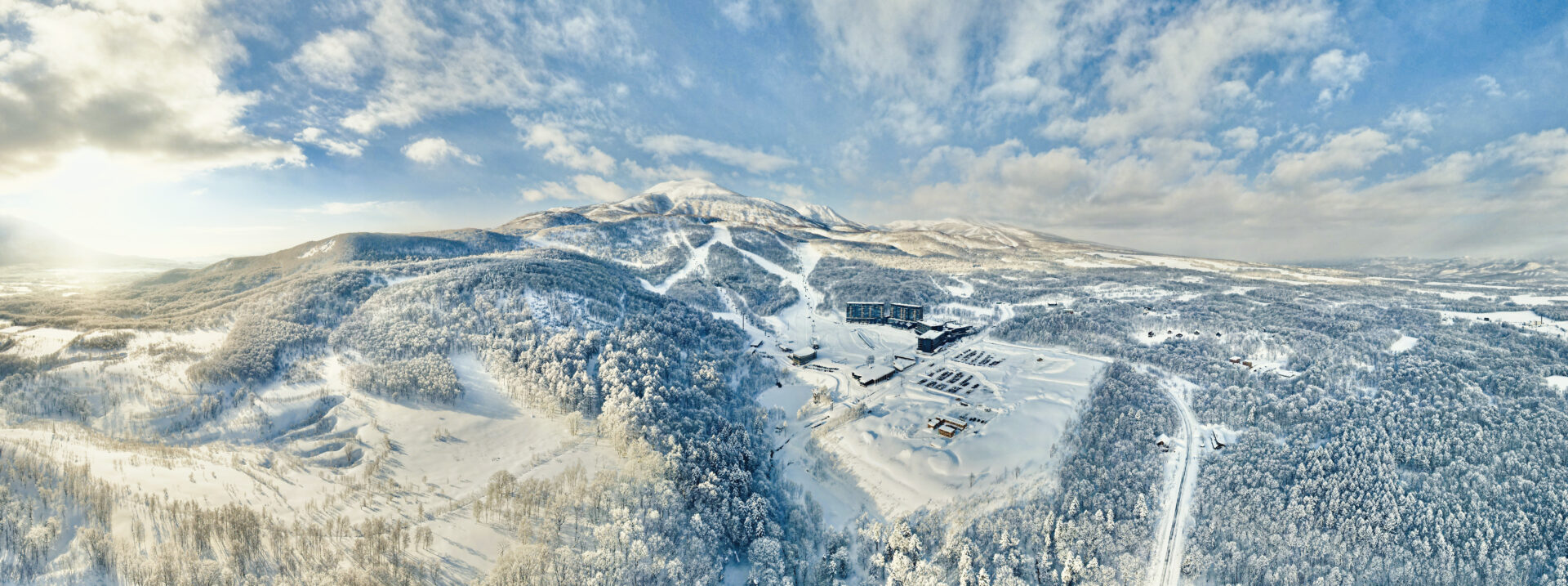
The snow in Hokkaido is different
A few years ago, I embarked on a winter journey through the eastern region of Hokkaido by car. Eastern Hokkaido tends to have less snowfall, and is often characterized by sunny winter days. On this particular day, the weather was clear and although the temperature hovered around minus five degrees Celsius, the roads were free of snow and driving was comfortable. As I progressed on my trip, snow began to fall, but it was not heavy and the wind was relatively calm, so it did not qualify as a blizzard. Visibility was not significantly impacted, and I felt safe. However, I soon realized that the snowfall in Hokkaido is quite different from what I had experienced in other regions such as Kanto and Joetsu. Due to the low temperature and road surface temperature, the snow that fell on the ground did not melt, but instead accumulated quickly. It was akin to powder snow. The surrounding scenery turned completely white as soon as it started snowing, and without the aid of snow poles, it would have been challenging to locate the road. I finally arrived in a city where the grooves on the road were visible, and I could finally relax.
Variation in Snowflake Size: The influence of temperature and moisture content
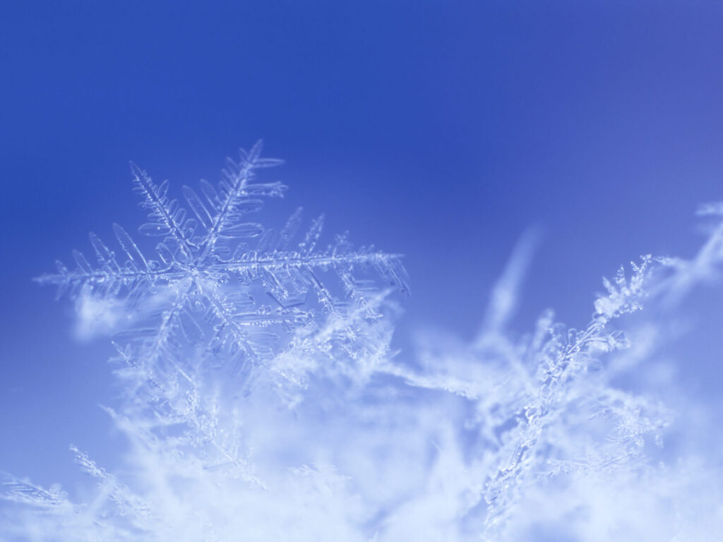
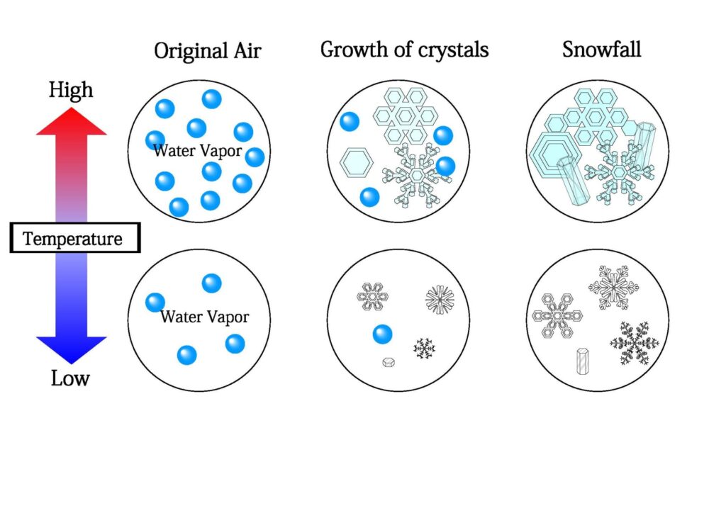
The quality of snow is influenced by temperature and the level of moisture in the air. Snow crystals are initially small ice particles, known as ice crystals, that float in the upper atmosphere. These ice crystals grow in size as they absorb or combine with surrounding water vapor, forming larger snow crystals. If these snow crystals fall to the ground without melting, they become snow. On the other hand, if the snow crystals melt en route and turn into water droplets, they become rain. If the temperature remains below freezing from the upper atmosphere to the ground, it will naturally result in snowfall. Even if the ground temperature is above 0 degrees Celsius, if the upper atmosphere is below freezing, the snow will fall without melting and become snow.
However, when snowfall occurs under relatively high temperature conditions, particularly when the temperature is above 0 degrees Celsius, the surface of the snow begins to melt. This causes the snow crystals to be more susceptible to merging with other snow crystals due to the surface tension of water, resulting in the formation of large, clump-like snowflakes. Additionally, even when the temperature is below freezing at minus 4 degrees Celsius or lower, a thin layer of water known as a pseudo-melting layer may form on the surface of the snow crystals, keeping them slightly moist. This layer of water also functions as an adhesive, attracting moisture from the atmosphere and promoting the growth and adhesion of snow crystals, leading to the formation of connected snowflakes. When the temperature drops further, typically between minus 4 to minus 10 degrees Celsius, a portion of the snow crystals become wet while the rest gradually dry out. As the temperature falls below minus 10 degrees Celsius, the pseudo-melting layer disappears, and the surface of the crystals becomes dry. Despite this, as surrounding water vapor freezes onto the surface of the crystals, they continue to grow. However, as the surface is dry, the crystals do not adhere to each other and fall as small, individual crystals.
Temperature and snow
When temperatures are high, there is typically a high level of moisture in the air. As a result, a large number of snow crystals grow but because their surfaces are wet, they tend to merge resulting in large, heavy snowflakes. The accumulated snow will also be dense and heavy. Conversely, when temperatures are low, the surfaces of the crystals are dry, resulting in individual crystals that fall separately, leading to a buildup of soft and light snow.
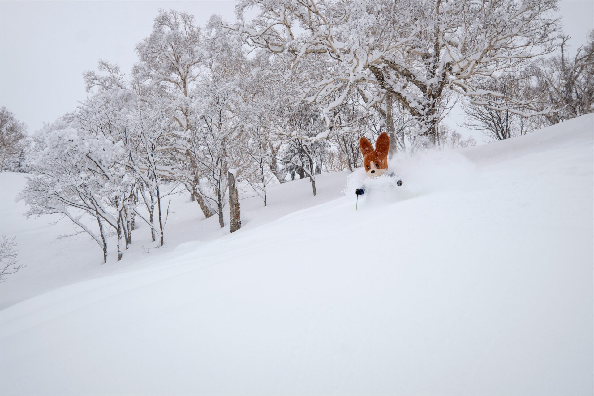
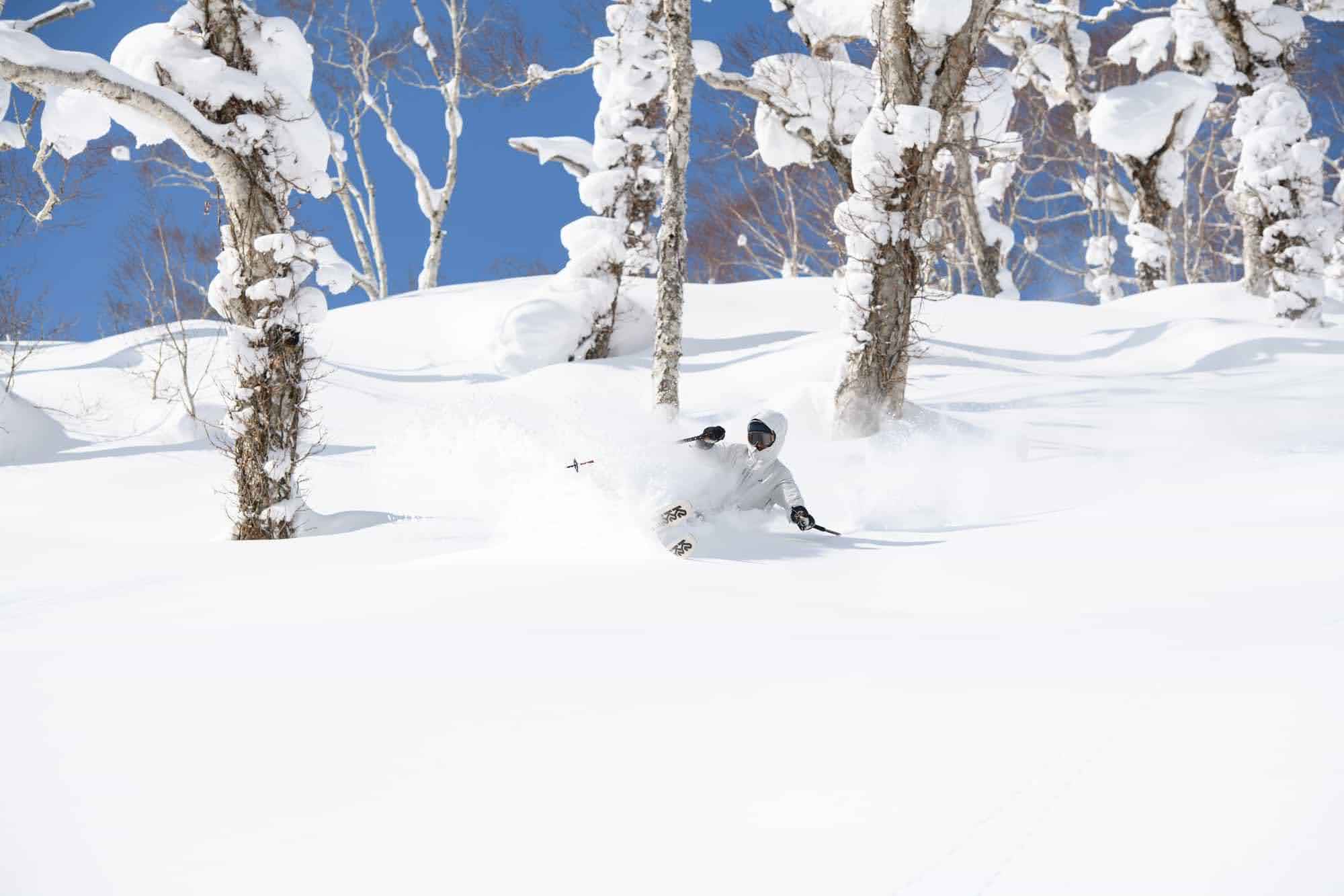
The amount of water vapor also varies with temperature. Warm air has the capacity to hold more moisture than cold air, thus when temperatures are high, the level of moisture tends to be higher and when it’s low, the level of moisture tends to be lower. As a result, when temperatures are high, there is a greater number of snow crystals and each crystal has a wet or moist surface with more moisture, making them more likely to combine with other crystals and form large, high-density snowflakes. This type of snow not only sticks together between snowflakes, but also adheres to various objects such as trees, wires, and handrails. Consequently, it is often referred to as wet and sticky snow. On the other hand, when temperatures are low, the amount of moisture is also lower and the number of snow crystals is fewer. The snow crystals do not adhere to one another and fall as small, separate crystals. When accumulated, this results in dry, fluffy snow that sits on top of existing snow. This snow does not cling to skis or snowboards, does not become packed down, and does not transform into a hard crust, instead it forms high-quality powder snow.
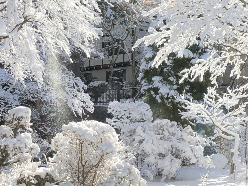
The photograph depicts wet snow that fell during conditions of high temperatures. On this particular day, the minimum temperature was -3.2℃ and the maximum temperature was 0.7℃, and the snowfall occurred within a range of around 0℃. As a result, it has adhered firmly to trees.
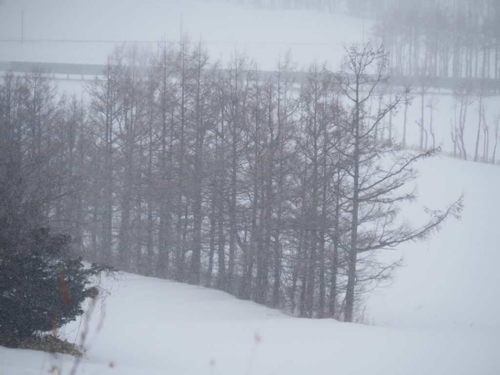
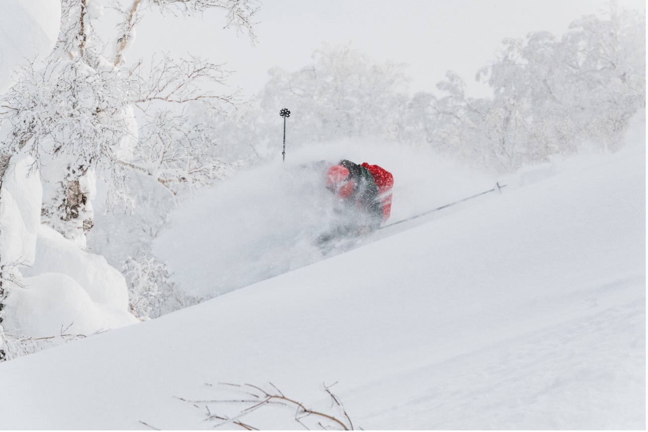
In contrast, the photograph illustrates dry snow that fell under conditions of -5℃ to -10℃. Visibility is poor due to the snow, but it is not accumulated on the trees at all.
Factors that contribute to the formation of powder snow in Hokkaido: Distance from the continent and water temperature across the Sea of Japan
Hokkaido’s snow quality is attributed not only to its lower temperatures compared to other regions in Japan, but also its low moisture content in the air. This is a result not only of its northern location, but also its proximity to the Sea of Japan.
The snow in Japan is primarily caused by the influx of cold air blowing across the Sea of Japan from the continent. During the winter, extremely cold air accumulates in Siberia, reaching temperatures below minus 40 degrees Celsius, and is blown towards the Japanese islands from the northwest by seasonal winds from the Chinese mainland. On the other hand, the warm Tsushima Current flows into the Sea of Japan between China and the Japanese islands, keeping the water temperature relatively high even during the winter. This warm water warms the cold air from below and also causes a significant evaporation of water vapor. As a result, the temperature rises and the amount of water vapor increases as the air crosses the Sea of Japan in comparison to the continent. This water vapor forms snow clouds, bringing snowfall to Japan, particularly on the Sea of Japan side. However, it is important to note that the distance from the continent to the Japanese islands varies on the northern and central parts of the Sea of Japan. In the central part of the Sea of Japan, the distance from the continent to the coast of the Japan Sea is over 800km, while in the north it is only 400km, half of that in the central part. Additionally, in the northern part of the Sea of Japan, the cold Liman Current flows along the coast of Siberia, resulting in a much lower water temperature and weaker warming effect, leading to less evaporation of water vapor. As a result, compared to areas such as the Japan Sea coast, which are known for heavy snowfall, Hokkaido experiences lower temperatures and less water vapor in the air, leading to the formation of dry and powdery snow.
However, there are also instances when the snow in Hokkaido becomes wet. One such instance is when snowfall occurs during the beginning and end of the ski season when temperatures are relatively high. Another is when snowfall is a result of low pressure systems coming from the Pacific. These lows are formed by the mixing of warm air over the Pacific with cold air blowing in from the continent, resulting in relatively high temperatures and a high level of water vapor. As a result, snowfall that is unexpectedly wet for Hokkaido may occur and the snowfall can also be heavy. Similarly, in regions such as Tohoku, which typically receive less snow, heavy snowfall and blizzards can occur at times.
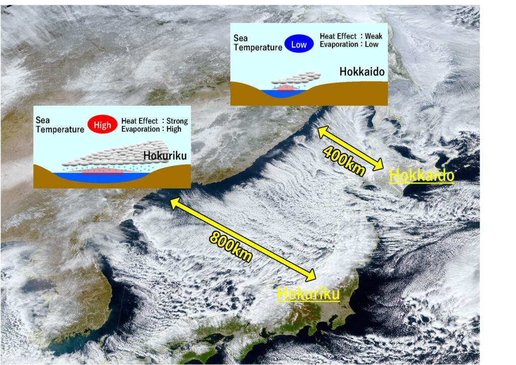
The distance between Japan and the mainland varies, with it being farther in central regions and closer in northern regions. Additionally, water temperatures are higher in central regions and lower in northern regions. The same cold air brings high temperatures and a large amount of moisture to Northeastern regions, while it brings low temperatures and less moisture to Hokkaido, making it more likely for dry snow to fall.
An announcement was made at a railway station along the coast of Hokkaido, alerting passengers of an incoming train. “The train will arrive shortly. Please disembark within the white line.” The platform was entirely blanketed in white snow, making it challenging to distinguish the location of the designated white line.